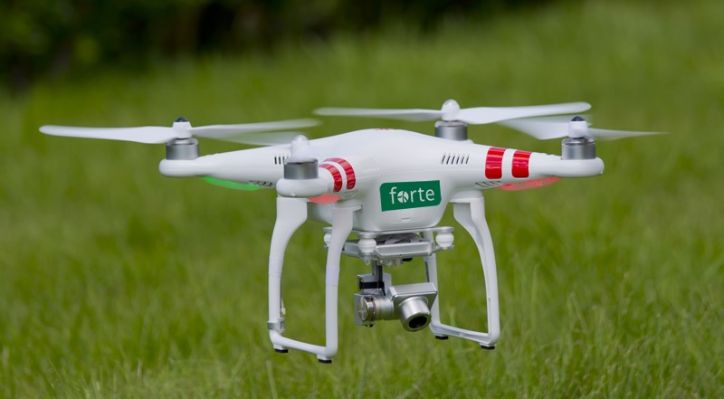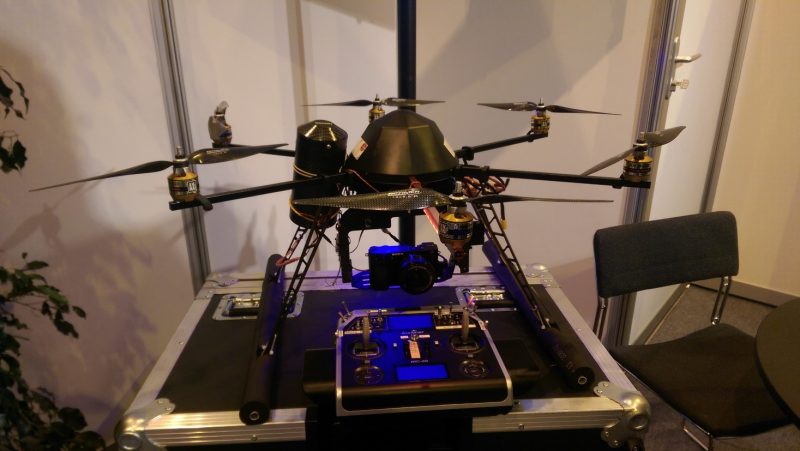
The recent Consumer Electronics Show in Los Vegas showcased Segway mounted electronic butlers, virtual reality headsets and the latest electric supercars. Not to be left out of the fun I thought it’s time to see if wind farm development needs an electronic shake up and if its time to embrace a favourite man-toy: the Drone.
Wind Farm Development in the Data Age
Wind farm development is truly going global and with technology advances it’s possible to have a client based in Milan, consultant in Amsterdam and the project in the South of Brazil. Traditionally as development proceeds the developer must introduce interested consultants and contractors along with potential investors to the project site by means of sharing masses of documents, preparing an information memorandum and conducting site visits and follow up clarifications. That’s before any commitment is made.
This is extremely time consuming for the developer. So what if there was a way to make this process more efficient and also have best-in-class data capture from surveys which can reduce risks of errors in wind farm design. That’s where the drone comes in and below I detail where I see the benefits.
Permitting
What is the extent of properties and local population that can see your WTG? A Hub Height visibility study using a drone can provide some very clear answers to this question.
Topographical Survey
Accuracy is comparable to best alternative traditional technology. As larger areas can be surveyed quicker and benefit from economies of scale surveys can be extended from the minimal selected areas for traditional surveys to larger grids which can assist with terrain models for wind surveys, long distance grid connection routes and alternative WTG access possibilities. For optimum results the survey results should be tied into a GIS database
Site visits
It’s always important to visit site but with best-in-class survey data it’s possible for all parties to be as well prepared in advance and to make maximum benefit of trips to site. Seeing is believing but a well completed advance survey shared and viewable from the comforts of the office reduce risks of inconclusive site visits due to poor visibility (fog, rain etc.) on the appointed day of a site visit.
Geotechnical & Hydrogeological Investigations
A drone video can help identify quarries, drainage and flooding characteristics that may not be so clear on maps etc
Site Access and Design
Can provide you with a full data of all existing and proposed site roads giving geometric properties and surface condition of all roads under the developers responsibility. Traditionally surveys of roads at a distance from the WTGs are not surveyed in detail by developers due to cost and time constraints. Better data means being able to foresee and resolve problem issues before OEMs do detailed access studies.
Promotional Video
This can be useful for attracting investors during due diligence phase (see also Topographical Survey above). It should be noted that although Google Maps can be very useful for desktop viewing of sites their maps can be out of date or isn’t completed for remote areas. Using visualisation software pre-construction sites can be compared with a future operational phase i.e. present and future site views.
Post Construction
As Built Surveys can be prepared quickly to act as the definitive survey deliverable or to check contractors submitted surveys.
Operational Phase
Although my focus in this article is on the development phase it would be remiss me of not to mention the growing popularity of drones for WTG inspections during the O&M phase. At a fraction of the time and with reduced HSE risks for personnel drone inspections are a very useful first pass inspection tool.

Summary
The need for best technology in wind farm development should consider the following constraints:
A good wind farm developer will attempt to obtain the minimum landleases possible to construct as many WTGs as possible.
- Construction will involve kilometres of upgraded/new roads and MV/HV cabling including on lands owned by 3rd parties.
- Developer will often be based 100s of kilometers away from site and perhaps in another country.
- He or his representatives will need to be make dozens of site visits during development to liaise with various sub-contractors
- To minimize project development costs developers need all the help they can get. As we see today Data is king and you can’t get enough of it. Therefore time to embrace the drone!
————————————————
Fergal O’Mahony is Managing Director of Forte Renewables. We are based in Amsterdam and provide Wind Farm Engineering Management services for the European and South American Markets. This blog was first published on:
Important Note: the author does not represent any drone suppliers or manufacturers.

